
Polar Vortex to Bring Cold Air and Potential Snow to the Midwest and Northeast
Current forecast models show the circulation of the Polar Vortex weakening later this week into the weekend, allowing cold air to spread across much of the Central and Eastern U.S. With cold air in place, a batch of energy is also projected to move out of the Northwest as a dip in the jet stream begins to intensify. As this system moves east, it could bring snow from the Midwest into the Northeast.
According to the FOX Forecast Center, this could lead to the first significant snowstorm of the season for the Interstate 95 corridor, including Philadelphia, New York City, and Boston, if the cold air meets up with moisture that is expected to race across the country. However, there is still considerable uncertainty regarding the timing of this system, and those who will be in the Midwest and Northeast should monitor forecast changes as the week progresses.
What is the Polar Vortex?
The Polar Vortex is a large, persistent area of low pressure and cold air near the poles and sits about 10-30 miles above Earth’s surface. A strong Polar Vortex keeps the coldest air contained over the arctic circles; a weaker Polar Vortex allows that frigid air to drop into the lowest level of the atmosphere and dips in the Pacific jet stream usher that cold air from Canada into the Lower 48. 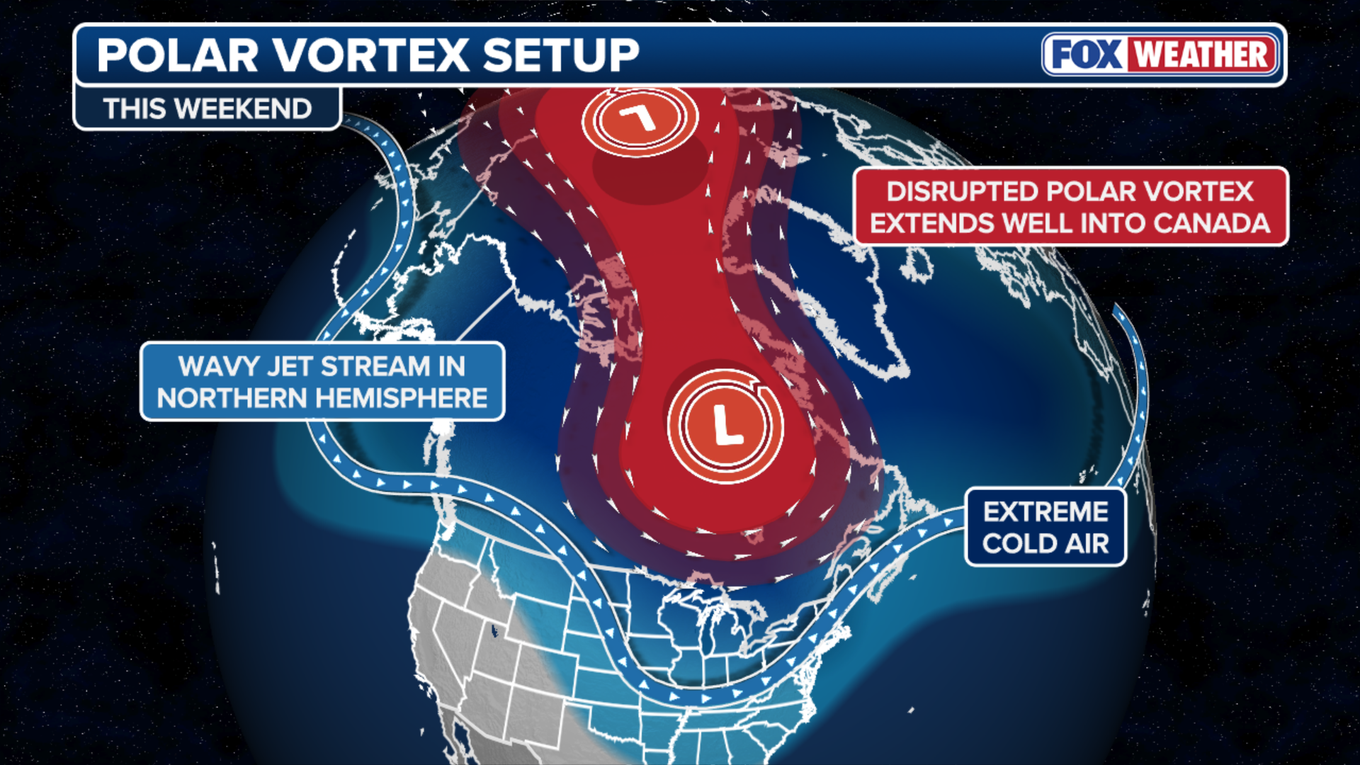 This graphic shows how a weak Polar Vortex allows cold air to spill over the U.S.
(FOX Weather)
If enough cold air is able to take hold of the Midwest and Northeast this weekend, it would create prime snow-making conditions for a quick-moving storm system that is currently forecast to move east out of the Pacific Northwest. This system would also need additional moisture to move up from the south to produce significant snow.  Snow potential for Midwest, Northeast.
(FOX Weather)
Potential Snowstorm
If all these conditions are met, an area of low pressure could form near the coast this weekend, increasing the chance for significant snow across the Northeast, including the Boston, Philadelphia, and New York metro areas. This would be the first significant snow for that portion of the Interstate 95 corridor. 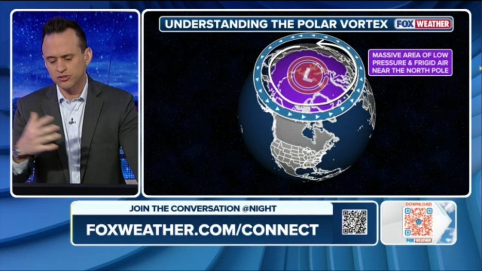
However, if one of these components is missing, snow totals would be depressed. This latest storm bears out the long-range outlook from NOAA last month that forecast an active start to meteorological winter, due in part to the La Niña climate pattern. For the latest updates on this developing story, check the FOX Weather website.
Image Source: www.foxweather.com
